Showing posts with label maps. Show all posts

Friday, April 30, 2010

Oxford, from above

I drew a big cartoon map of Oxford city centre.

Here's some more detail (you click the pictures to view them bigger... you knew that right?).

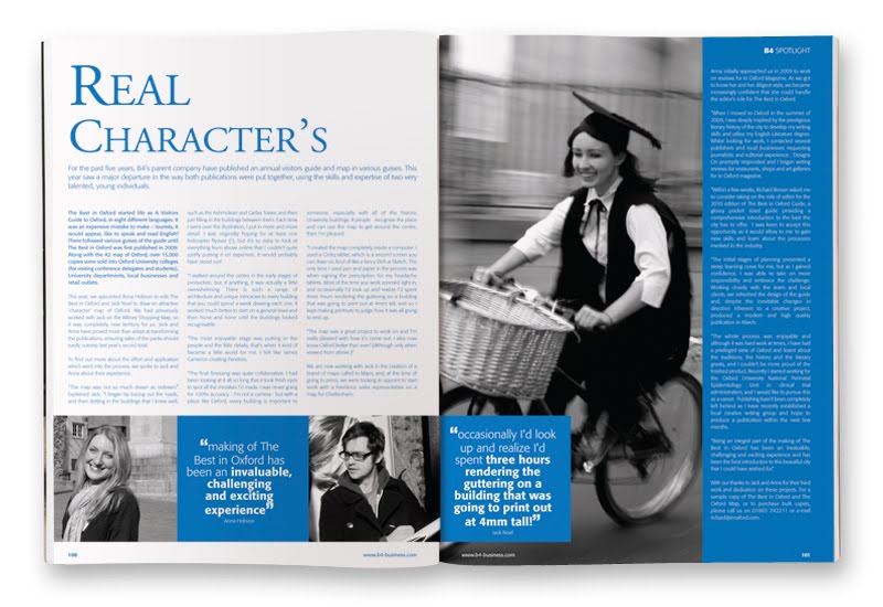
There's an article about the whole process in B4 Magazine ("your guide to business in Oxford"), which is nice.

EDIT
You can read the article online here, if you want. It's on page 100.

Friday, October 30, 2009

Putting myself on the map

I've drawn a big map of Witney, a little town in West Oxfordshire. It took a long time, but it was fun.


Thousands of copies have been printed and are all over Oxfordshire. If you find one, you can see me on it down by the river struggling with the scale of the bloody thing.


Alternatively you can click round the whole thing on this nifty website.


There was a lot to draw. People often never ask me how I draw so many trees and still have time to do so many valid and worthwhile things. The secret is to create a generative system. Simply by combining five drawings of trunks, and five sets of leaves I get twenty five trees. Genius, eh?